The Pre-Emption Line, Part 2
By John Marks, Curator of Collections
In May’s article, The Pre-Emption Line, Part 1, we left off with the Phelps and Gorham associates winning the right to purchase land in western New York from the Haudenosaunee. It was approved by the Massachusetts state legislature in 1788. However, other parties had their own plans.
In 1786 New York and Massachusetts agreed that only the states, or their designees, were allowed to purchase land from the Native American. The New York Genesee Land Company, led by John Livingston and Dr. Caleb Benton, exploited a loophole. In 1787 they leased all the Haudenosaunee land west of Seneca Lake for 999 years, earning the company the name “the Lessees.” They sold their leases to willing buyers.
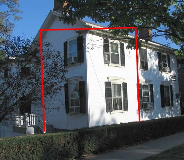
Durfee House on South Main Street in Geneva. Red outline marks the original building.
The New York Genesee Land Company office was in Geneva, which had settlers in the 1780s. The office was on South Main Street, and was later moved further south. One corner of Hobart & William Smith’s Durfee House was the original building.
New York Governor George Clinton nullified the leases of the company and its customers. People who “bought” land from the company lost both their money – no refunds – and their land. In spite of this, the Lessees still had influence with the Haudenosaunee.
At the same time the Niagara Genesee Land Company was being organized in Canada. One of the principals was Colonel John Butler who fought for the British with some of the Native Americans in this area. The company sought to use Colonel Butler’s influence with the Haudenosaunee for their financial benefit.

Colonel John Butler
These two companies came into play in June 1788 when Oliver Phelps set a meeting with the Haudenosaunee chiefs to discuss buying land. Phelps thought he was going to meet the tribal chiefs in Geneva, but the Lessees got to the chiefs first and kept them in Niagara. Livingston and Benton wanted to control negotiations and get some payment for themselves.
Negotiations finally commenced at Buffalo Creek, near present-day Buffalo, at the beginning of July. Phelps & Gorham wanted all of western New York, but the chiefs only wanted to sell their rights to land east of the Genesee. After several days a western boundary was agreed upon, amounting to about 2.6 million acres. The price of five thousand dollars was based on a proportion of what the Lessees offered to pay for all the land west of Seneca Lake.
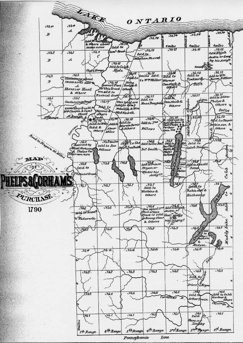
Map of Phelps and Gorham Purchase, 1790
A condition of the deal was Phelps showing good faith toward the Haudenosaunee’s friends, the Lessees. Four townships, each one being 36 square miles, were given to the New York Genesee Land Company, and one township went to John Livingston and Caleb Benton. The company made good on some of the land they had sold, but people received a fraction of the land for which they had paid.
The purchased land still needed a line of pre-emption surveyed as well as townships before anything could be sold. Enter Colonel Hugh Maxwell the surveyor….in next month’s blog.
Additional Pre-Emption Line Blog Articles